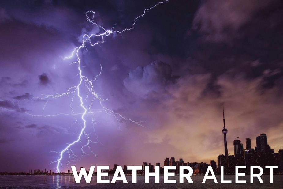
WX -Severe Thunderstorm Warning issued March 22 at 9:31PM EDT until March 22 at 10:15PM EDT by NWS Indianapolis IN
NWS INDIANAPOLIS IN (CI WEATHER) - SVRIND
The National Weather Service in Indianapolis has issued a
* Severe Thunderstorm Warning for...
Delaware County in east central Indiana...
Randolph County in east central Indiana...
Northeastern Henry County in east central Indiana...
* Until 1015 PM EDT.
* At 931 PM EDT, a severe thunderstorm was located near Muncie,
moving east at 65 mph.
HAZARD...60 mph wind gusts and quarter size hail.
SOURCE...Radar indicated.
IMPACT...Hail damage to vehicles is expected. Expect wind damage
to roofs, siding, and trees.
* Locations impacted include...
Muncie, Winchester, Yorktown, Union City, Daleville, Parker City,
Farmland, Lynn, Selma, Saratoga, Losantville, Modoc, Springport,
Blountsville, Summit Lake State Park, Ball State University, and
Prairie Creek Reservoir.
For your protection move to an interior room on the lowest floor of a
building.
More Information
Headline: Severe Thunderstorm Warning issued March 22 at 9:31PM EDT until March 22 at 10:15PM EDT by NWS Indianapolis IN